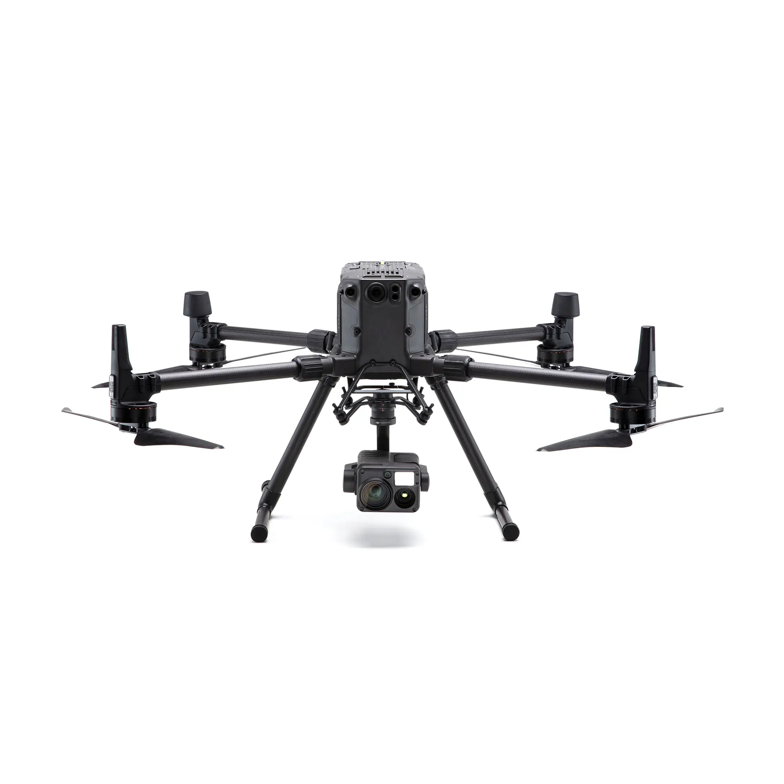
Product Details

Application scenario expansion
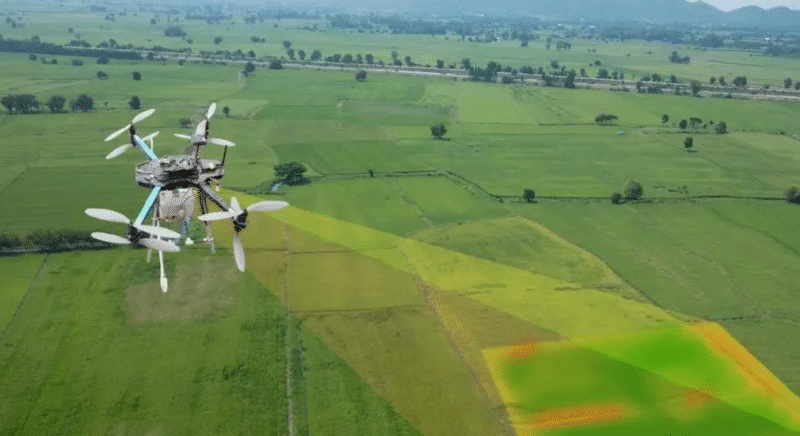
Disaster emergency: quickly obtain 3D models of disaster areas to support rescue decisions; Agricultural monitoring: real-time analysis of crop growth status, optimization of irrigation and fertilization; Energy inspection: such as Norwegian oil and gas pipeline leak detection, Dubai solar power station inspection; Digital city: constructing 3D urban landscape through high-resolution images
Core technical features
High-precision positioning
Using RTK (real-time dynamic positioning) technology and multi-sensor fusion algorithm, the positioning error can be controlled within ±0.03 meters.
Through precise POS data and camera internal parameter optimization, the accuracy of surveying and mapping results is ensured to be 2.
Environmental adaptability
Supports operation in non-GPS environments (such as indoor and underground spaces), and achieves real-time 3D modeling through SLAM technology.
The six-way obstacle avoidance system ensures flight safety in complex terrain.
Efficient operation capability
A single flight covers an area with a diameter of 2 kilometers, and the average daily surveying and mapping efficiency is 17 times higher than that of traditional methods.
The ultra-small UAV “Dimension I” can complete digital modeling of confined spaces (such as deep wells and pipelines) in minutes