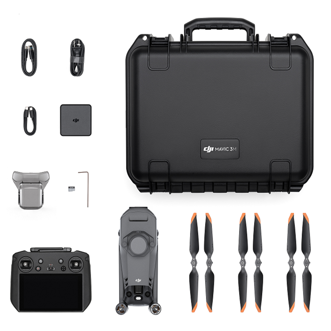
Product description
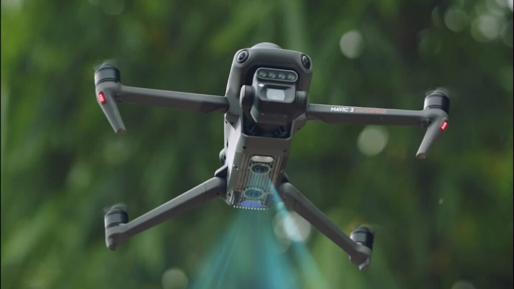
Effective aerial surveying needs to see the invisible. That’s why Mavic 3 Multispectral has two forms of sight. It combines an RGB camera with a multispectral camera to scan and analyze crop growth with total clarity. Agricultural production management requires precision and data, and Mavic 3M delivers both.
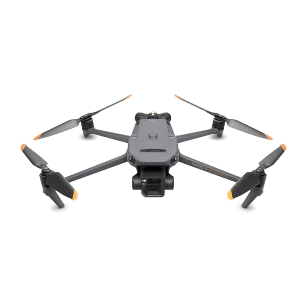
Djl Mavic 3M features both an infrared sensing system and upward, downward, and horizontal omnidirectional vision systems, allowing for hovering and flying indoors as well as outdoors and for automatic Return to Home while avoiding obstacles in all directions.The aircraft has a maximum flight speed of 47 mph (75.6 kph) and a maximum flight time of 43 minutes.
The built-in DJI Air Sense system detects nearby aircraft in the surrounding airspace, providing alerts in the DJI Pilot 2 app to ensure safety. The spectral sunlight sensor detects solar irradiance in real time for imaging compensation, maximizing the accuracy of collected multispectral data. The auxiliary bottom light allows the vision positioning system to achieve even greater performance during takeoff and landing at night or when there is low light.The aircraft is also equipped with an RTK module on top of the aircraft, when used with aD-RTK 2 High Precision GNSS Mobile Station (sold separately) or Network RTK service, more accurate positioning data can be obtained.The DJI RC Pro Enterprise remote controller has a built-in 5.5-in high brightness screen with a resolution of 1920×1080 pixels. Users can connect to the internet via Wi-fi, while the Android operating system includes Bluetooth and GNSS. The DJI RC Pro Enterprise comes with a wide range of aircraft and gimbal controls as well as customizable buttons and has amaximum operating time of 3 hours.
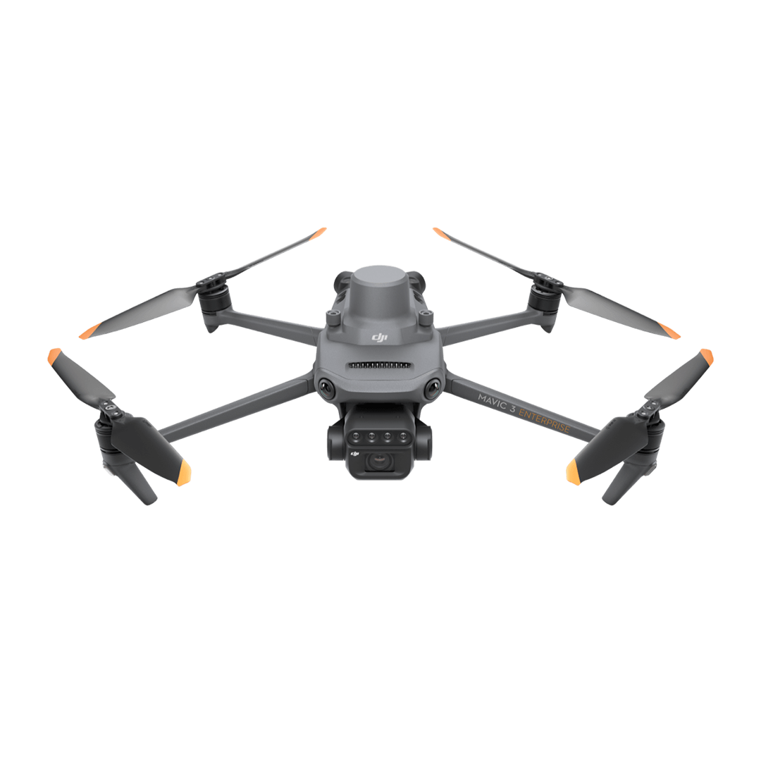
Multispectral + RGB imaging system
Highly integrated imaging system
Newly upgraded imaging system with one 20MP RGB camera and four 5MP multispectral cameras (green, red, red edge, and near infrared). Enables applications such as high-precision aerial surveying, crop growth monitoring, and natural resource surveys.
5 MP Multispectral Camera
Near-infrared (NIR): 860 nm ± 26 nm
Red (R): 650 nm±16 nm
Red edge (RE): 730 nm + 16 nm
Green (G): 560 nm +16 nm
RGB camera characteristics
4/3 CMOS 1/2000s 0.7s
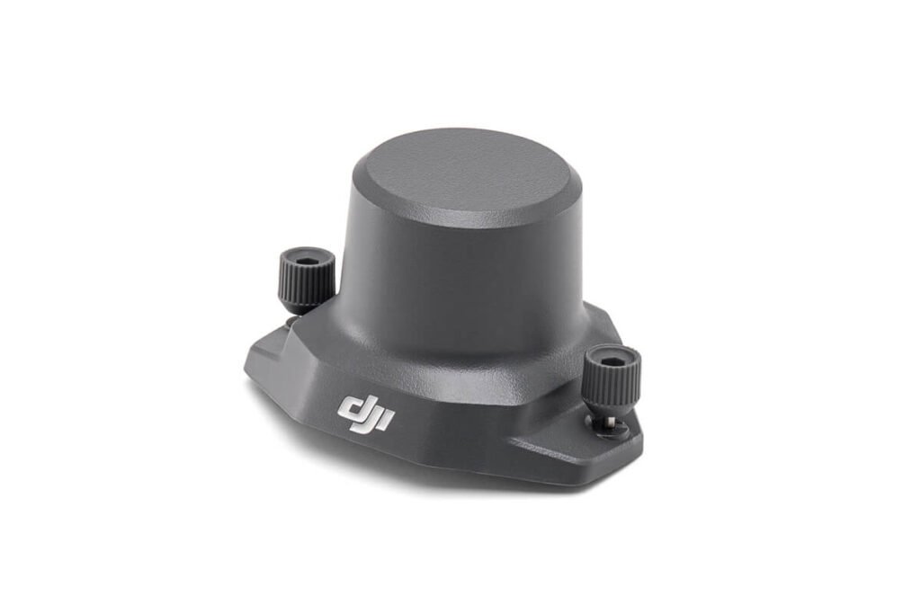
RTK MODULE
Accurate images that capture every pixel
Mavic 3M with RTK module for centimeter-evel positioning, Hight control, the camera, andthe RTK module sync in microseconds to accurately capture the location of each camera’simaging center. This enables Mavic 3M to do high-precision aerial surveying without using
ground control points.
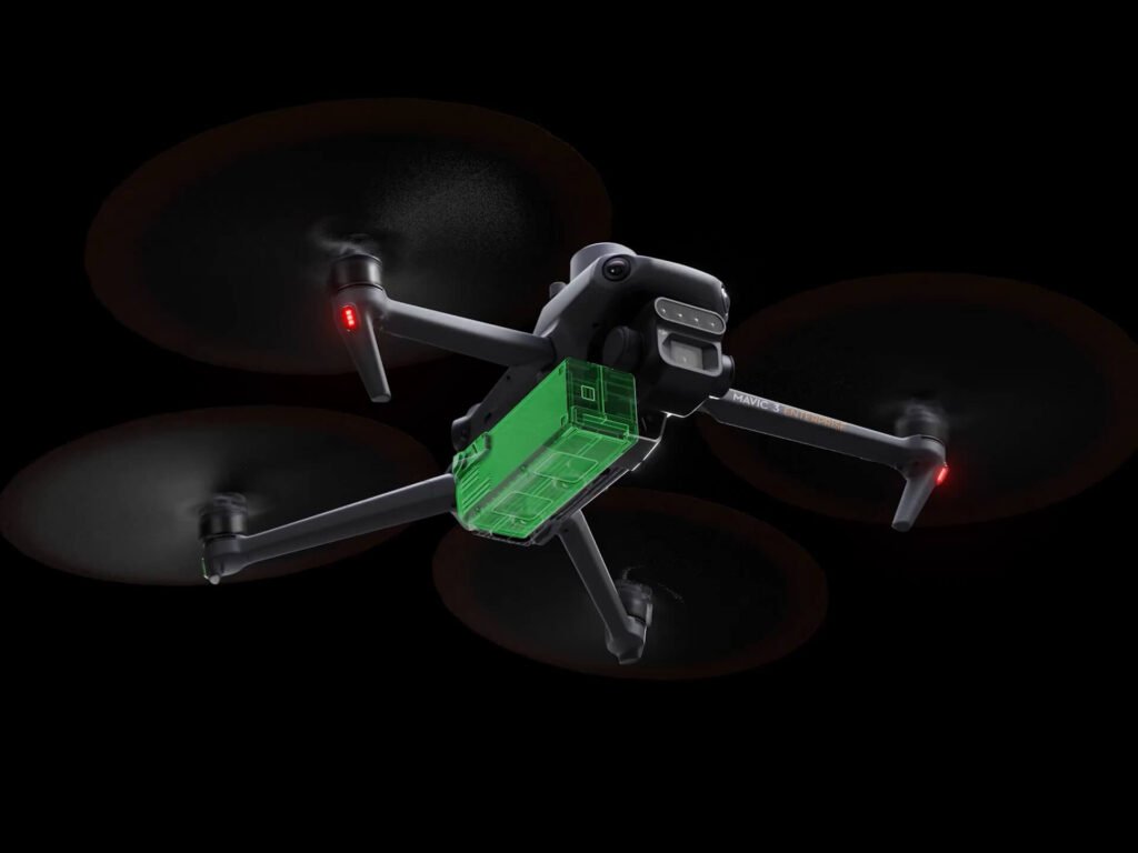
Efficient and reliable battery life
Ultra-long battery life, fast bursts
Fast charging
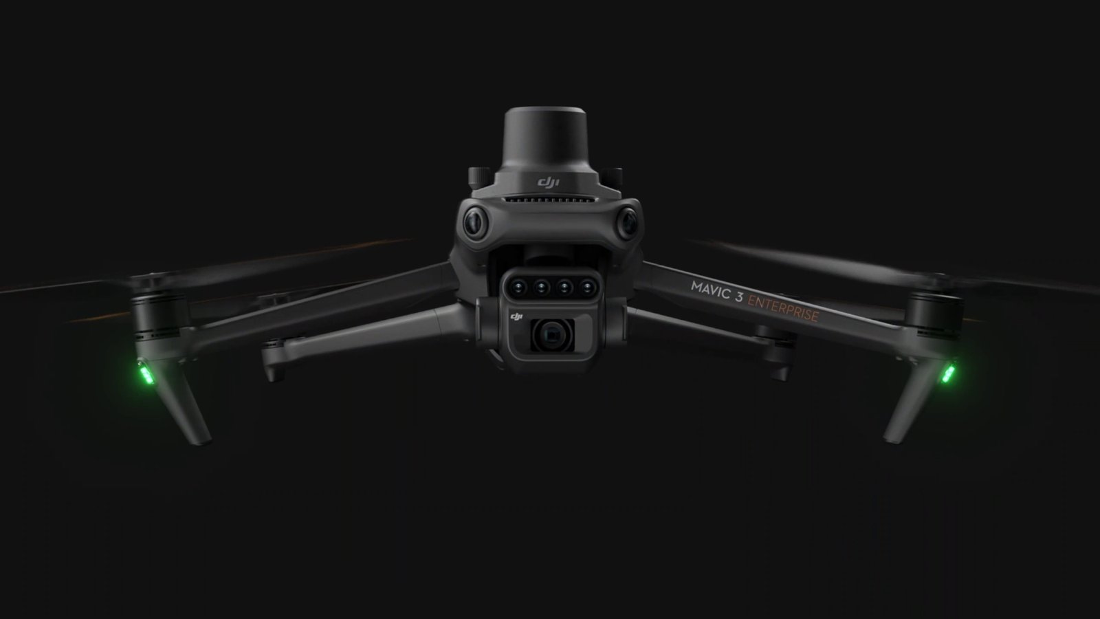
Omnidirectional obstacle sensing, terrain-follow aerial surveying
The aircraft features multiple wide-FOV vision sensors that accurately detect obstacles in all directions for omnidirectional obstacle avoidance. The terrain-follow aerial surveying can be easily performed in steep-slope landscapes.